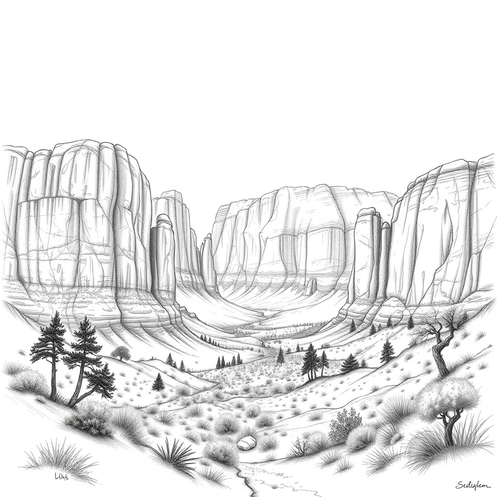
Moab’s red-rock country is one of the most magnetic landscapes for hikers, climbers, bikers, photographers, and road-trippers.
The cluster of public lands around Moab — including iconic national and state parks plus vast BLM terrain — offers a mix of short, dramatic viewpoints and multi-day backcountry adventures.
Smart planning makes the difference between an unforgettable trip and a logistical headache.
What to expect
– Dramatic sandstone fins, natural arches, and sweeping canyon overlooks.
– High desert conditions: large temperature swings between day and night, intense sun, and little shade on many trails.
– Variable cell coverage and remote roads that can change quickly after storms.
Top places near Moab
– Arches National Park: famous for concentrated arches and short, photogenic trails; ideal for sunrise and sunset visits.
– Canyonlands (Island in the Sky and Needles districts): offers vast overlooks and technical routes for backpackers.
– Dead Horse Point State Park: a compact viewpoint delivering classic canyon vistas.
– Sand Flats Recreation Area: home to Slickrock Bike Trail and popular off‑road routes.
Planning and logistics
– Timing matters: aim for early starts or late afternoons to avoid peak heat and midday crowds.
Sunrise at a viewpoint is often quieter and perfect for photography.
– Reservations and access: some parks and popular areas may require timed-entry reservations, permits, or fees during busy periods.
Check official park or land-management websites before you go.
– Permits and rules: overnight backcountry travel, river trips, or special uses frequently require permits. Respect seasonal closures for wildlife protection or trail maintenance.
Trail and route choices
– For short hikes and iconic views: choose trails with loop options and moderate elevation gains.
Even short routes can be strenuous in desert heat.
– For biking and technical driving: Sand Flats and nearby BLM roads offer singletrack and 4×4 routes; ride or drive within your skill limits and only on designated tracks.
– For solitude: seek lesser-known trailheads or explore early in the day.
Backcountry routes and longer Canyonlands trails tend to see fewer visitors.
Safety essentials
– Water and sun protection: carry significantly more water than you think you’ll need, wear sun protection, and use a hat. Dehydration and heat-related illness are common.
– Navigation and footwear: bring a map or GPS, and wear shoes suited for slickrock and uneven terrain. Don’t rely solely on cell service.
– Vehicle preparedness: check road conditions, tire pressure, and fuel.
Remote dirt roads can damage vehicles and require recovery gear or a high-clearance 4×4.
– Wildlife and environmental hazards: watch for rattlesnakes, scorpions, and sudden thunderstorms that can trigger flash floods in canyons.
Leave No Trace and community stewardship
– Pack out all trash, stay on designated trails, and avoid altering rock formations or petroglyph sites.
– Use established campgrounds where available; dispersed camping on surrounding public land is often allowed but follow local regulations and camp away from water sources and social trails.
– Respect cultural sites and follow closures that protect fragile habitats and archaeological areas.
Photography and stargazing
– Red rocks glow during golden hour; plan compositions around sunrise or sunset for the best light.
– Dark skies make the region excellent for Milky Way and night photography. Find a safe, legal pullout away from traffic and lights.
Moab-area parks reward careful planning and low-impact travel. Checking official land-management information before you go, packing for desert conditions, and choosing less-crowded windows of the day will make your visit safer and more enjoyable while helping preserve these landscapes for everyone.